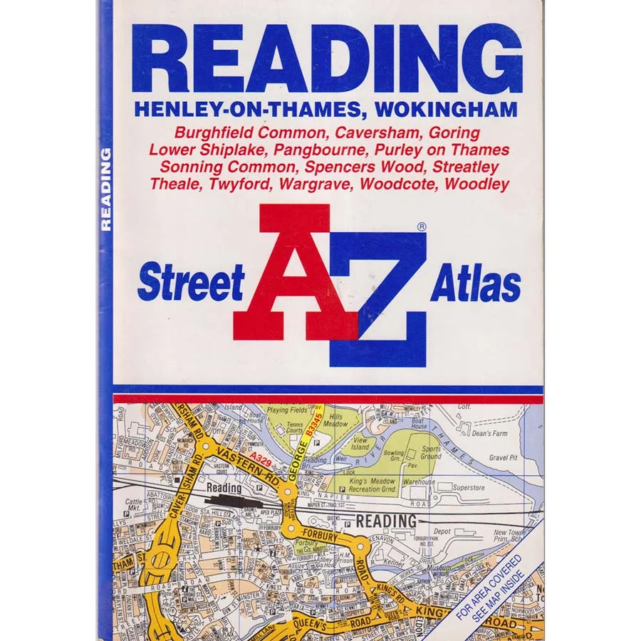
Reading A-Z Street Atlas
Publisher: Geographers A-Z Map Company
Format: Paperback
ISBN: 9780850395310
Before satellite navigation began issuing instructions in the confident tones of someone who has never actually driven down a narrow residential street, finding your way around Reading required a little ingenuity. Motorists consulted road signs, passengers argued over junctions, and somebody in the back seat invariably announced that they knew a much quicker route, usually shortly before everyone became hopelessly lost. Fortunately, the Geographers’ A-Z Map Company had a solution: put the entire place into a book and arrange everything alphabetically.
Reading A-Z Street Atlas (2000), published by the Geographers’ A-Z Map Company, is a splendid survivor from the golden age of printed street mapping, when reaching an unfamiliar address involved consulting an index, locating a grid reference and occasionally turning the atlas upside down to establish which direction one was supposed to be travelling.
Covering Reading and its surrounding streets, this practical atlas provides a detailed record of the local road network at the dawn of the twenty-first century. Here are the residential roads, shopping areas, industrial estates, railway connections and countless little side streets that collectively form the geographical puzzle of a busy Berkshire town.
Reading, of course, has always been a place with ambitions considerably larger than its municipal boundaries. A historic market town transformed by commerce, technology and modern development, it has spent decades demonstrating that one need not possess official city status to develop traffic congestion of truly metropolitan proportions.
In 2000, the town was already a major commercial centre, its streets carrying commuters, shoppers, delivery vehicles and countless motorists attempting to discover why the apparently straightforward journey from one side of Reading to the other had become an elaborate test of character.
The A-Z provided essential reassurance. Every road had a name, every name had an index entry, and every index entry theoretically led to the correct location. It was a beautifully logical system, provided nobody had torn out the relevant page or attempted to navigate while holding the atlas upside down.
Today, this edition also serves as an intriguing historical document. Reading has continued to evolve, with new developments, altered road layouts and changing neighbourhoods transforming parts of the urban landscape. A street atlas from 2000 captures the town at a particular moment, preserving details that may no longer correspond with the modern geography.
For local historians, collectors and anyone interested in the changing character of Berkshire, such maps offer a fascinating opportunity to compare the familiar present with a surprisingly different recent past.
Condition: Good. This 2000 edition is a previously owned copy showing ordinary signs of age, use and handling, but remains a perfectly respectable example of traditional street cartography.
Offered by Crappy Old Books, where we admire the extraordinary precision of the A-Z and remember when motorists could become lost without their navigation system recording the entire embarrassing episode.
A charming vintage atlas for collectors, Reading residents, local historians and anyone nostalgic for the days when finding an address required a little geographical intelligence rather than simply shouting instructions at a dashboard.
And should you find yourself lost in Reading today, this atlas may not offer the most up-to-date directions, but it will at least allow you to discover where you would have been in 2000. Which is a perfectly reasonable destination for a historical expedition.
Keep browsing: See more Maps books Other books by Geographers A-Z Map Company